
Looking Up Draper Neighbors
A block lookup has a small geographic scope and a large privacy duty. The public record can show parcel geometry, parcel IDs, legal descriptions, owners, recorded parties, tax districts, and some building fields. It does not guarantee a list of occupants, renters, minors, visitors, or unregistered voters. Begin with the physical parcels that touch the subject lot, not every address in a ZIP or subdivision.
| Source | What it shows about a block | Access |
|---|---|---|
| Salt Lake County GIS | Parcel geometry, tax districts, map layers | Free map |
| Utah parcel viewer | County, address, city or ZIP, parcel attributes | Free statewide fallback |
| Assessor card | Owner, situs, mailing, value, exemption, building fields | Free search or counter |
| Recorder index | Deed parties, dates, legal description, plats | Free list, paid options |
| City committees and plans | Public civic participants and neighborhood geography | Official minutes and pages |
The block evidence is strongest when each source is labeled. A GIS click is a map fact. An Assessor result is property-linked. A deed is a transaction. A committee page is civic context.
Click the Four Adjacent Parcels
Open the Salt Lake County Assessor GIS, find the subject address, and inspect the parcels immediately north, south, east, and west when they touch the lot. Save parcel ID or serial, situs address, subdivision, lot, block, and county. Use the map layers for tax district, zoning, flood, or special-district context where available. Adjacent can mean physical contact, not shared ZIP or neighborhood name.
- Confirm the subject parcel and county.
- Click each lot that physically borders it, including common-area or flag-lot tracts.
- Open the Assessor card and separate owner, mailing, situs, value, and building fields.
- Use the Recorder for each parcel’s latest deed and legal description.
- Record the map date and stop when the requested block radius is complete.
The Salt Lake County GIS page is the county parcel route for mapping Draper neighbors.
Build a Draper Block Sheet
A good block sheet keeps one row per parcel. Include the present address as written, city and ZIP, county, city-limit status, parcel ID or serial, subdivision, lot and block, legal description, GIS layer date, Assessor owner, mailing address, latest Recorder instrument, and any permit or zoning entry. If a field is blank, keep it blank.
| Field | Why it matters |
|---|---|
| Parcel ID or serial | Stable key linking map, Assessor, Recorder, and tax material. |
| Situs address | Physical property label, which can differ from postal city. |
| Owner and mailing | Property and correspondence evidence, not occupancy proof. |
| Lot, block, plat | Shows formal adjacency and catches common-area or flag-lot issues. |
| Latest instrument | Records the newest deed or filing without mixing it with occupancy. |
Do not turn a parcel sequence into a person sequence. One owner can hold more than one lot. One parcel can have several recorded parties, a trust, an estate, or a business name.
The Draper contacts directory lists Mapping/GIS at 801-576-6552 for questions about city map layers and routing.
Use Plats and Zoning Layers
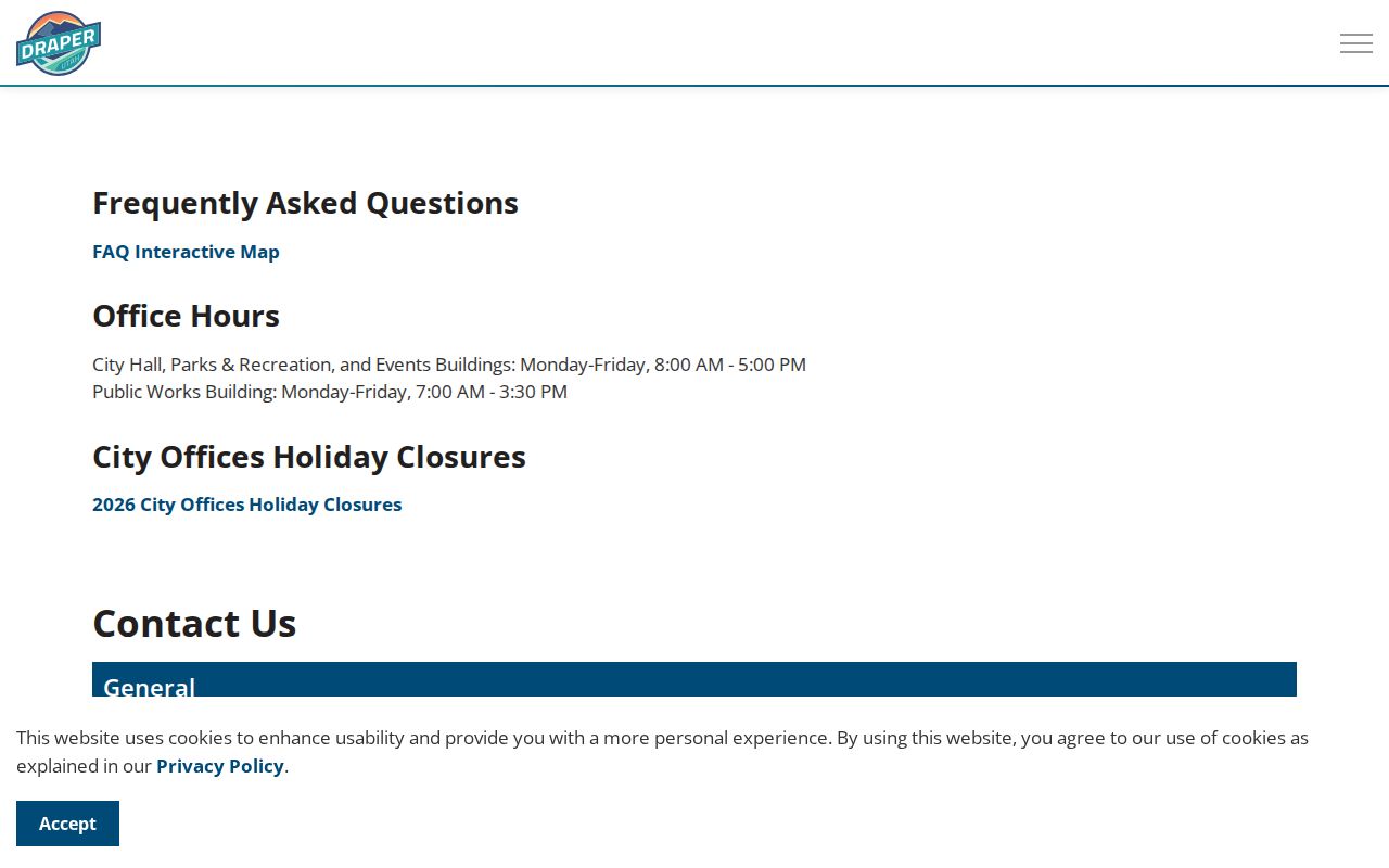
A plat gives the formal lot and block relationship. Open the subdivision or plat index, locate the subject lot, identify every lot that touches it, and compare that result with GIS geometry. This method catches easements, common-area tracts, flag lots, and parcels whose mailing address is on another street. The City Planning and Development page links development maps, land-use maps, recorded and approved developments, and city code resources.
A zoning or flood layer explains a land-use setting. It does not name residents. Treat map boundaries as informational unless the Recorder or the appropriate map office supplies the formal record.
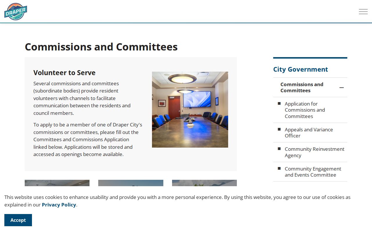
The Draper commissions and committees page shows the city’s public civic-participation route connected to neighborhood context.
After identifying the civic layer, compare it with the formal planning and development map for the same block.
The Draper Planning and Development page is the official source for planning, land-use, and development-map routes.
Trace Each Neighbor’s Deed
Run each adjacent parcel through the Salt Lake County Recorder separately. The free search requires terms acceptance and a selected address or parcel. Capture grantor, grantee, instrument type, date, entry number, book and page, and legal description. Search the seller as the prior grantee when a history question needs to go backward. Paid Data Services adds owner history, tract and chain-of-title material, but current access and fees should be confirmed.
A 2006 audit reported mainframe index coverage from 1981 forward and handwritten ledgers before 1981. The present online cutoff is not stated. When the trail ends, ask about the relevant ledger, abstract card, plat, or Archives tax record. A deed records a transaction. It does not name every person who lived at the parcel.
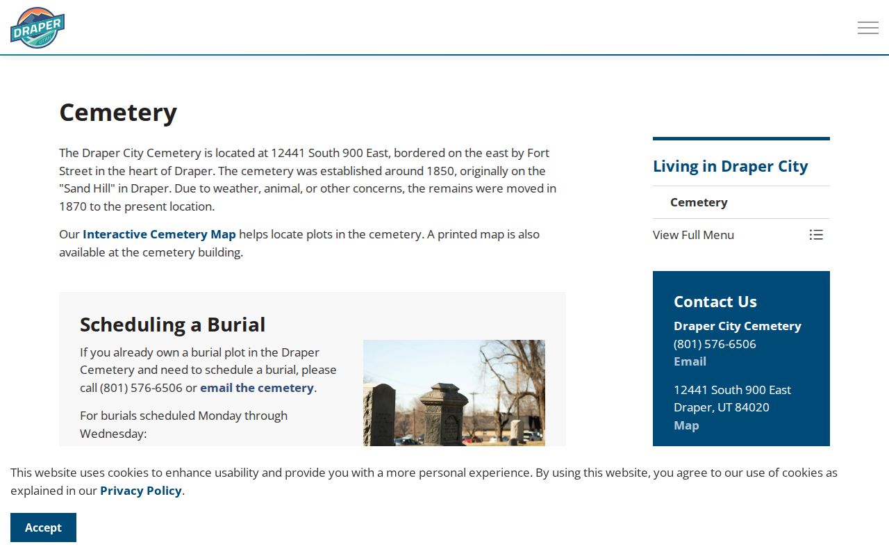
The Draper Cemetery page shows how a local public map can connect a place to appointment-based research without exposing a full private roster.
Separate Owner From Occupant
The Assessor distinguishes the situs property from the owner’s mailing address. That distinction is central to a Draper neighbor search. A person may own a parcel but receive mail elsewhere. A multiunit property may carry one tax account but contain several households. A business, trust, estate, or common-area owner may be adjacent without being a household.
Historical directories can supply a listed occupant at a past date, and a public voter record can include a physical address when the field is public and lawfully obtained. Neither source should be merged with a current owner field as if it were the same fact. Keep the evidence labels visible.
Draper’s County-Line Neighbors
Traverse Ridge makes political geography part of the block study. Suncrest is named on the Salt Lake County side in the City wildfire plan, while Traverse Mountain is named on the Utah County side. Association geography, parcel jurisdiction, postal routing, tax districts, and emergency planning can differ. If an adjacent parcel is on the Utah County side, check its land records and map office there.
The plan gives estimates of about 12,000 homes, 12,500 lots, 700 commercial entities, 47,000 full-time residents, and 1,000 part-time residents for its focus area. Those are plan estimates, not a current resident list. Use the official wildfire planning material for geography and context only.
Community Groups Are Not Rosters
Draper City commissions and committees provide public civic context. Categories include Historic Preservation, Planning, Parks, Trails and Recreation, Community Engagement and Events, Traffic, Tree, Zoning, Mayor Youth Council, and the Traverse Ridge Special Service District. The Community Engagement and Events committee page describes 11 members, a fourth Wednesday meeting at 6 p.m., public agendas and minutes, and a January 2026 merger of prior committees.
Suncrest HOA and Traverse Mountain HOA are named in the City plan, but public association directories and rosters were not located in the inspected official text. Use an official association page or City-published contact if one is available. Never infer private membership from a sign, subdivision name, or nearby parcel.
What Voter Data Adds to a Block
Utah voter data can provide public name, physical or mailing address, year of birth, party affiliation, and participation fields when obtained through the official route. It does not show ballot choices. The public status page is not a block-browse directory. A full file is a separate request with price, delivery, and protected-voter rules.
At-risk voters, full birth dates, IDs, phone, email, signatures, and other protected details are withheld. Use aggregate precinct context or a narrow lawful confirmation. Do not publish a block’s names and addresses.
Privacy Limits on Neighbor Lookups
No public source guarantees all Draper occupants. Household members, visitors, minors, private utility customers, closed DMV address data, and protected voter addresses stay outside a normal block study. Utah Safe at Home provides a substitute state address for qualifying survivors and protects the actual location, mail routing, city, county, precinct, phone, and unique location identifiers. The substitute address is not confidential, but the actual address is.
Lawful use. Neighbor records are for personal, lawful block knowledge, family history, property research, and civic awareness. Do not combine parcel, voter, court, obituary, or association clues to stalk, harass, intimidate, threaten, or harm anyone.
If a source seems wrong, contact the Assessor, Recorder, election custodian, court clerk, or other record holder. If it is not online, make a specific Utah GRAMA request. A private directory cannot correct or remove the source record.