
Finding Who Lives Along Draper Streets
Start with an address, not a guess about a person. Draper’s address grid follows the Salt Lake County origin at South Temple and Main. Near Traverse Ridge, a road or neighborhood can sit beside the Salt Lake and Utah County line, so the same postal city does not settle the record jurisdiction. A current street directory search can establish a parcel owner or locate a listed historical occupant. It cannot promise a complete household roster.
Walk the record chain in a fixed order. Save the exact input and the source date as you go.
- Write the frontage number, direction, street name, street type, city, and ZIP as shown on the address.
- Confirm the county and parcel in the Utah statewide parcel viewer or Salt Lake County GIS.
- Open the Assessor card and save owner, situs address, mailing address, parcel ID, and legal description.
- Use the Recorder for the latest deed or other recorded instrument, then carry the grantor or seller backward.
- Use Utah voter data only through its lawful official route, and treat a historical directory as a dated listed-occupant clue.
Map the Draper Street Before Searching
The Salt Lake County Assessor GIS page is the street-browse layer. Zoom to a segment, click each parcel, record the parcel ID, and open the linked assessment. Parcel geometry helps find flag lots, common areas, vacant land, and parcels with a mailing address on another street. It also shows why a numeric sequence is not the same as a sequence of households.
The statewide map is a fallback when a location is close to the county line. Choose the county, enter a street address or city or ZIP, and click the map for available attributes. The viewer is informational, not a legal survey. Keep a map date and layer name with your notes.
The Salt Lake County GIS entry point provides the parcel map used to build an address sequence in Draper.

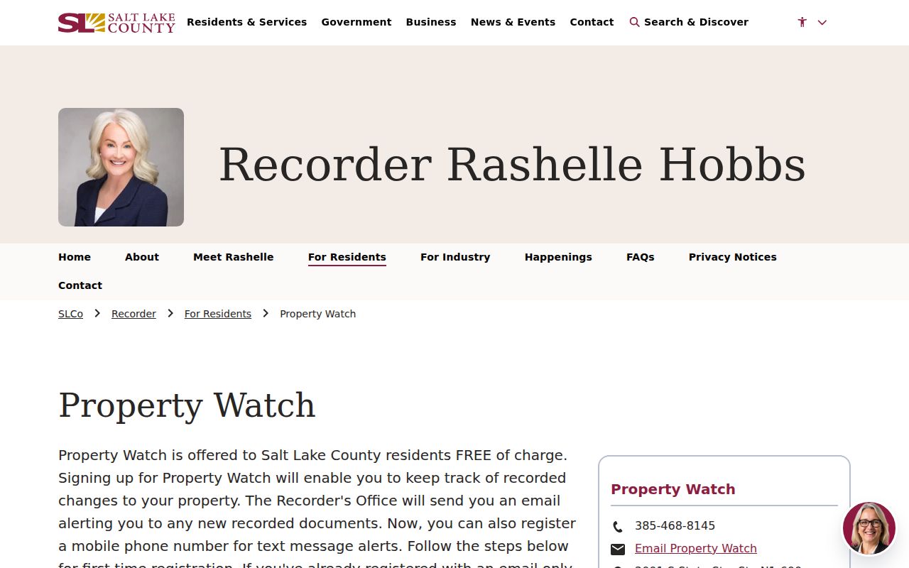
Once the parcel is identified, an alert service can add a separate property-record checkpoint.
The Recorder Property Watch page explains an address selector and alert fields for a Draper property.
Draper Assessor Fields by Address
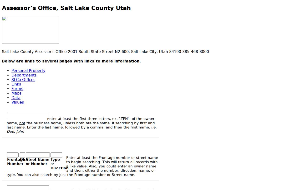
The current Salt Lake County property search offers Owner, Address, and Parcel Number. The Address field is an autocomplete control, so select the returned address rather than relying on free text. The legacy interface adds Frontage Number, Direction, Street Name or Number, Type or Direction, Owner, and Parcel ID. Its owner route needs at least three letters, and partial street values can return like values. Use the complete parcel number once the map supplies it.
| Portal field | Required behavior and use |
|---|---|
| Owner | Optional name route, Last Name, First Name; legacy search needs three letters. |
| Address | Choose a selected address from the current search suggestions. |
| Parcel Number | Use the displayed parcel format as the stable cross-record key. |
| Frontage and direction | Legacy fields that help narrow a street segment and preserve E, W, N, or S. |
| Search result | May show owner, situs, mailing, value, district, exemption, and building fields. |
The situs is the property location. The mailing address is where tax correspondence goes. They may differ. A homestead or exemption flag can be an owner-occupancy clue, but it is not proof that the owner is physically present.
The legacy Assessor search shows the frontage, direction, street, owner, and parcel routes that can narrow a Draper street directory search.
Draper Records Searchable by Street
Address-keyed records do not all describe people in the same way. The table separates the source, what it can show, and the access path. A street directory result should be labeled as owner evidence, listed-occupant evidence, voter-file evidence, or a historical clue.
| Record set | Keeper | Street result | Access |
|---|---|---|---|
| Parcel card | Salt Lake Assessor | Owner, situs, mailing, parcel, value, exemption | Free web search and counter |
| Parcel map | Assessor GIS and UGRC | Geometry, serial, district, adjacent parcels | Free viewer |
| Deed and plat index | Salt Lake Recorder | Parties, dates, legal description, lot and block | Free list, paid images/options |
| Voter data | Utah and county election offices | Defined public physical/mailing and status fields | Official status or file request |
| Permit records | Draper and Utah registry | Project, parcel, filing date, ZIP, filing type | Portal or records request |
The parcel ID joins the Assessor to GIS and the Recorder. A legal description can rescue the search when the street name changes. A permit applicant is project evidence. It is not proof of occupancy.
Use the Recorder Along a Street
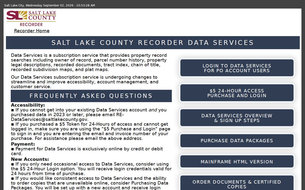
The Salt Lake County Recorder Public Search requires a terms checkbox and an address or parcel chosen from autocomplete. Its free result is a quick recorded-document list. Data Services adds owner history, legal descriptions, tract index, chain-of-title, subdivisions, plats, and recorded-image access. The service lists a $5 temporary login for 24 hours and separate packages. A legacy copy fee notice described $40 for non-plat records and $50 per plat sheet, but current prices must be checked before an order.
For each parcel, record grantor, grantee, instrument type, recording date, entry number, book and page, consideration when shown, and the legal description. Search the prior grantee as the next link. A 2006 audit reported online mainframe indexes beginning in 1981 with handwritten ledgers before that date. The current interface gives no cutoff, so ask the Recorder whether the needed Draper book has been digitized.
The Recorder Data Services page describes free search, temporary access, packages, and recorded-document options for a Draper parcel.
Follow Construction Evidence by ZIP
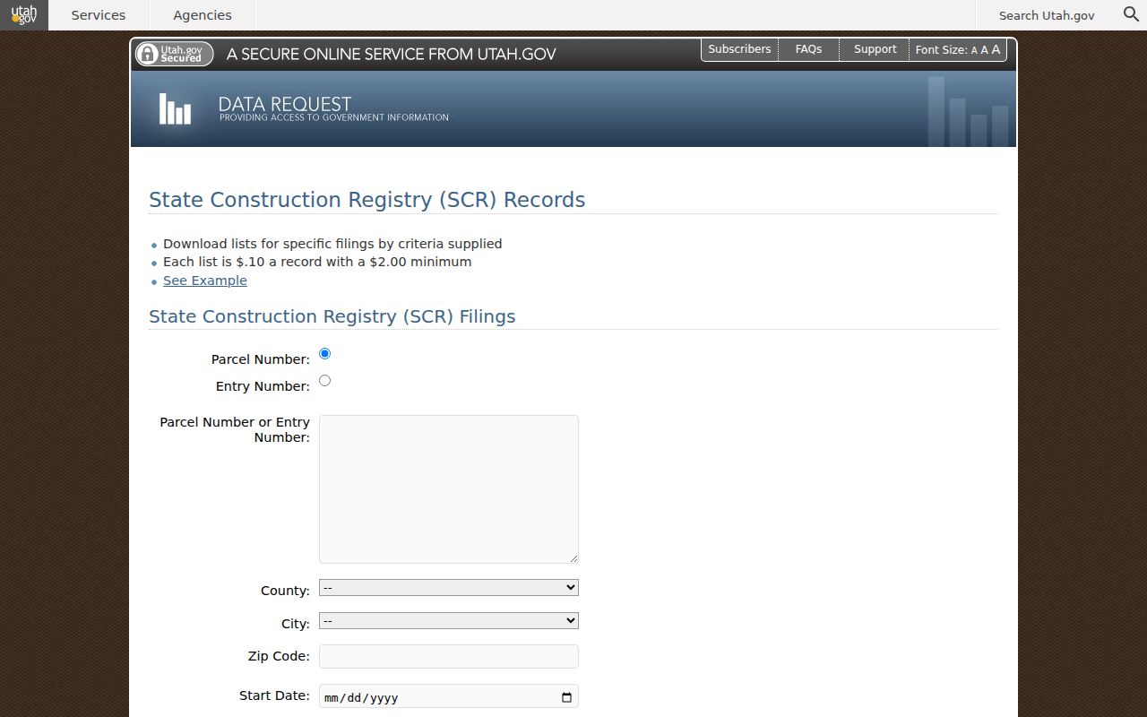
Address history often has a permit trail. Utah’s State Construction Registry accepts Parcel Number, Entry Number, County, City, ZIP Code, Start Date, End Date, and filing-type choices. Filing types include building permits, notices of commencement or completion, preliminary notices, bank loans, and related entries. The displayed download price is $0.10 per record with a $2 minimum. A separate building-permit request accepts ZIP codes and original permit or sent-to-state date ranges.
Draper Planning and Development links a Planning Services Portal, development maps, land-use maps, approved-development maps, and a non-police city-record route. A municipal online start year was not located. For older work, ask the City Recorder or Planning custodian for an existing file by address, parcel, project, and date.
The Utah parcel viewer is the county, address, city, and ZIP fallback before a construction registry search.
The Salt Lake Grid Matters
Utah’s address-system guidance places Salt Lake County city grids on the South Temple and Main origin. In a Draper street directory, keep the direction prefix and street type with every result. A number without E, W, N, or S can point to a different address. Near Traverse Ridge, repeat the county check in Utah County rather than assuming an empty Salt Lake result means the parcel or deed is missing.
Use the formal legal description when an address is uncertain. Plat, lot, block, subdivision, and serial details are stronger bridges than a street label alone. The official sources inspected did not provide a complete dated list of Draper renumbering or renaming events, so historical conversion needs a request to Draper GIS or the appropriate county map office.
The Utah State Construction Registry provides a separate address and parcel filing route that can help date work along a Draper street.
Historical Draper Street Entries
Utah City Directories can supply an older occupant clue when an address is known. In a suburban Polk volume, read the street or geographic section near the number, then carry the name to the alphabetical section. Note the printed year, page, spelling, spouse or relative notation, occupation or business line when visible, and any owner, renter, or widow abbreviation the scan actually uses. Exact Draper reverse-directory coverage remains unconfirmed in catalog text.
Historical labels can be Draperville, Willow Creek, or a Draper precinct. A modern street directory search will not correct those labels for you. Pair the printed entry with census household information, tax cards, deeds, or a newspaper notice. The City Directory page holds the collection details; a current street result should stay focused on address-keyed evidence.
Street-Level Voter Evidence Has Rules
Utah’s public voter fields include name, physical and mailing address, year of birth, party affiliation, and vote history showing participation, not ballot choice. A public status page is not a street-browse directory, and the inspected page does not expose a public name-result screen. The full state file is an official request with a stated price and time-sensitive delivery rules. It contains more fields, but it is not a reason to publish names and addresses along a block.
Protected voters, at-risk voters, full birth dates, IDs, phone numbers, email, signatures, and Social Security numbers are withheld. Registration status can change. Use an “as of” date and preserve only the fields needed for a lawful record question.
What Draper’s Street Directory Leaves Out
A parcel record may show an owner. A deed may show a buyer and seller. A directory may show a listed occupant at a past compilation date. None is a complete list of current household members, visitors, minors, or people who do not appear in that source. Utility customer data is not a public resident roster, DMV address data is restricted by the federal Driver’s Privacy Protection Act, and protected voter addresses must remain protected.
Group parcels by parcel, not by person. One person may own several parcels, one parcel may have several recorded parties, and a multiunit address may have one tax account but many occupants. Use the office route when a narrower public record is needed.
Lawful use. Draper address records support personal, lawful research, family history, property questions, and civic understanding. Do not use a street directory, voter field, or court result to stalk, harass, intimidate, or harm anyone.